What is El Niño? Record-breaking heat waves are coming.
What is El Niño?
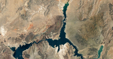
The seemingly unremarkable term El Niño (from Spanish “the boy”) hides an extremely important weather and oceanic phenomenon that has an impact on global weather conditions. It involves maintaining abnormally high water surface temperatures in the equatorial Pacific zone. During El Niño, large amounts of energy flow from the ocean to the atmosphere, causing a short-term increase in the average surface temperature of the Earth and increasing the likelihood of a record hot year.
El Niño appears in the Pacific Ocean and affects weather worldwide. During El Niño, the water in the ocean becomes warmer than usual. As a result, there are changes in the direction of winds and ocean currents. This, in turn, affects the weather, including an increase in temperature on land, rainfall patterns, and the occurrence of hurricanes.
ENSO - El Niño Southern Oscillation
ENSO – El Niño Southern Oscillation, or southern oscillation, is a series of phenomena that occur in the southern part of the Pacific Ocean.
These phenomena include the following phases: El Niño, La Niña, and the neutral phase. Each of them corresponds to a specific state of the atmosphere and the ocean.
What are El Niño and La Niña?
El Niño and La Niña are phenomena that occur due to the link between processes occurring in the atmosphere and the ocean. The trade winds, which affect the heating of the Pacific waters, have a close relationship with the formation of both phenomena.
Trade winds are winds that blow along the equator on Earth. They contribute to atmospheric circulation around the world and play a key role in regulating the climate.
The record-breaking heat is coming.
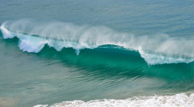
If the trade winds weaken (El Nino), the water warms up and the ocean surface becomes warmer, causing its evaporation to create a zone of convection with extensive clouds and heavy precipitation. In the case of stronger trade winds, we are dealing with the La Nina phenomenon – then the water in the ocean does not have time to warm up and spots of cooler than average water form. The occurrence of such phenomena in the ocean affects the temperature in a given region and the amount of evaporation.

Changes in heating and steam supply over such a large area have an impact on the entire atmospheric circulation. Air temperature largely depends on ocean temperature.
When will there be El Niño?
According to the World Meteorological Organization, the El Niño phenomenon is likely to start shaping the weather and climate around the world later this year. The past 8 years have been the hottest in history, and it is worth noting that during this period the La Niña phenomenon (which involves the occurrence of cold water spots in the Pacific affecting global temperatures) occurred three times.
Forecasts for 2023 predict the dominance of El Niño and further records of heat that will contribute to global warming. In 2016, we experienced a double impact of the El Niño phenomenon, which may have been driven, among other things, by global warming caused by anthropogenic greenhouse gas emissions. It was also the warmest year in history…
Model forecasts and expert assessments indicate:
a 60% chance of El Niño occurrence in the May-July 2023 period
a 60-70% chance in the June-August period
a 70-80% chance by the fall of 2023.